
National City Neighbors by Block
A National City block is best understood as a question with several record layers, not as one complete roster. SanGIS can show the physical parcels around an address. Assessor channels can connect a parcel to property and mailing information. Deeds, permits, historical directories, and civic pages add dated clues. Each source has a different purpose. The table separates what a record can show about a block from what it cannot establish about current occupants.
| Source | What It Shows About a Block | Access |
|---|---|---|
| SanGIS/SANDAG parcel map | Address, APN, parcel geometry, roads, jurisdictions, census and ZIP layers; not occupants | Free public map; search, click, save, or export |
| ARCC assessor channels | Owner, property or mailing address, value, sales, characteristics, and parcel facts | Phone, kiosk, or ParcelQuest; Internet ownership display is limited |
| Recorder index | Recorded ownership transfers, liens, easements, and legal descriptions; not current residence | Name index online 1970-present; APN search at five public kiosks |
| National City permits and engineering | Project owner, applicant, contractor, work date, plans, and subdivision context | City division request; permit start year not published |
| Neighborhood Council | Public civic meeting network and contact context; not a member or household directory | Community Services contact; no current member directory located |
| Voter records | Restricted registration evidence in a permitted setting; not an open block browser | Self lookup or purpose-restricted data request |
| Historical reverse directories | Dated address-to-householder and occupation clues for a canvass year | Kile Morgan local history holdings; in person or by appointment |
No row equals a list of people living on every parcel. An assessor owner may have a different mailing address. A recorder entry proves a named party to an instrument, not present residence. A permit ties a person to work at a location on a date. A civic meeting page gives public context, not a member or household directory. This distinction is the starting rule for reading local records without overstating them.
Mapping a National City Block
The SanGIS/SANDAG Parcel Lookup is the central map step for a National City block. Its documented entry modes include an address, an APN, or a street intersection. The viewer contains more than 33 layers, including parcels with APN labels, roads, municipal boundaries, census geography, ZIP geography, and district layers. A click on a parcel produces an individual report rather than a complete people roster.
| Field or Control | Type | Required | Behavior |
|---|---|---|---|
| Address | Text or locator | One mode | Find parcel by address |
| APN | Identifier | One mode | Find parcel by assessor number |
| Street intersection | Locator | One mode | Find cross-street area |
| Layer visibility | Toggle or check | No | Show more than 33 layers |
| Parcel selection | Map click | No | Open an individual parcel report |
| Print, save, or export | Output | No | Save a map or export parcels, roads, and address points |
Use the adjacent-parcel process in this order:
- Enter the address, APN, or street intersection, using one search mode at a time.
- Turn on parcel and APN labels, then add roads, municipal boundaries, ZIP geography, and any district layer that helps explain the block.
- Zoom to the target parcel, click it, and record the APN and the report date.
- Click each touching or nearby polygon in sequence and record its APN. Do not treat a string of street numbers as proof that parcels touch.
- Use roads and jurisdiction layers to separate parcels that physically touch from those that only look close on the screen.
- Take the resulting APNs to the proper assessor channel for property information, keeping owner evidence separate from occupant evidence.
The official documentation did not confirm a radius, buffer, or multiselect control. Sequential map clicking is therefore the defensible method. It identifies physical neighbors, not an occupant list. For a full named-street chain after the block is mapped, the National City street directory uses a broader address workflow.
Note: SanGIS documents parcel geometry, but the research did not verify a radius, buffer, or multiselect control.
APNs Across the National City Block
An APN is the assessor’s parcel number. It is the bridge from a SanGIS polygon to an assessor record, not a person identifier. An assessor map can show an APN, lot boundaries, dimensions, acreage on many half-acre-or-larger parcels, adjoining parcels, and recorded-map references. It intentionally omits ownership and street address. The map is a land reference, not a resident list.
San Diego County assessor property records can supply ownership, property address, assessed value, sales, and characteristics through the available phone, kiosk, public-computer, and ParcelQuest channels. Assessor Public Information is listed at 619-236-3771. California limits general Internet publication of ownership information, so a specific parcel question may need a phone or counter route. The owner mailing address is where assessment correspondence goes, while the situs address locates the parcel. A different mailing address is only an absentee-owner clue.
The assessor property-records page is the official source lead for the access limits and parcel information described here.
The assessor view can help connect an APN to a property record, but it cannot establish that the named owner is a current occupant or that every household member appears in the record.
Barriers Around National City Neighbors
National City’s apparent grid can mislead when the question is proximity. I-5, I-805, SR-54, rail lines, bay and port land, trolley corridors, and superblocks can divide places that look close on a screen. A street number sequence does not prove parcels touch. Use SanGIS roads and municipal layers to check physical connection, and keep a cross-street search separate from an address search.
The official National City profile supplies local geographic context for these barriers. When a parcel lies near a freeway, rail, port, trolley, or large block, zoom out, inspect connecting roads, and record why a parcel is included. A postal ZIP, a planning area, and an adjacent parcel can overlap without being the same area. That is why the block method begins with polygons and roads rather than a list of similar street numbers.
Owners and Occupants Among National City Neighbors
A local connection can mean physical adjacency, owner, occupant, or a person known through a civic network. SanGIS answers the first question. ARCC assessor channels answer some owner and property questions. The recorder answers title transfers. Permits identify applicants and contractors at a project date. None independently supplies a current household.
Keep owner, occupant, mailing address, situs address, applicant, and household member as separate fields in notes. A grantor is the party transferring an interest, while a grantee receives it. A deed chain can show those parties; a permit can show a project contact; a directory can show a dated householder. These facts can support a house-history project or a family reconnection, but they should be dated and tied to their source.
Note: An owner name or permit contact is evidence tied to a record date, not proof of a current local resident.
Voter Limits for National City Neighbors
California My Voter Status is a self-service authentication tool. It asks for first name, last name, date of birth, and an identification element, then returns the voter’s own registration and address, party and language preferences, vote-by-mail or provisional status, polling place, and election information. That design does not create a public block browser or verify a person who has not authenticated.
The full voter file is not routinely public. Elections Code sections 2188.5 and 2194, along with 2 CCR sections 19001 through 19013, limit access and use. Permitted categories include election, scholarly, journalistic, political, governmental, and record-review purposes. The research specifically says an ordinary requester cannot ask for everyone on a street. Even an authorized file excludes driver license or state ID data, the last four digits of a Social Security number, unique ID, and signature. Election history shows participation, not ballot choices.
Note: A registered address is restricted evidence, not a public list of every registered person at that address.
National City Civic Contacts for Blocks
Neighborhood Council pages add civic context but do not function as member or household directories. Research found current pages organized around district-based meetings, not a verified list of current council members. The historical city-facilitated areas were Central, Old Town, Eastside, Olivewood, Granger, Sweetwater, and Northside. Label those seven names historical until current material confirms otherwise.
Neighborhood Council contact
619-336-4289
Community Services Neighborhood Council contact for current civic meeting questions and district context.
Historical area labels
Central, Old Town, Eastside, Olivewood, Granger, Sweetwater, and Northside.
These are historical city-facilitated areas. No current public member directory was located.
A meeting contact can help locate public agendas or clarify current district boundaries. It cannot confirm who lives on a block. The absence of a current member directory is itself a limit, so no roster or association list should be invented from a meeting page.
National City Neighbors: Official and Commercial Sources
Official sources and commercial compilation services occupy different categories. Official source links lead back to the custodian and carry scope and use rules. A commercial compilation may combine public data with other signals, merge people with the same name, or retain stale facts. It can be a lead, but it is not the controlling record for a National City block.
Block comparison. The distinctions below keep a source category from answering a question it was not designed to answer.
| Block Question | Official Route | Commercial Category | What Remains Unverified |
|---|---|---|---|
| Which parcels touch? | SanGIS parcel, road, and municipal layers | May show a compiled proximity map | Check the official polygons and roads yourself |
| Who owns a parcel? | ARCC assessor channels and recorded deeds | May combine public and marketing data | An owner may live elsewhere |
| Who lives at an address? | No complete official household source; dated directories and records may offer clues | May infer people from mixed or stale records | Non-owner household members are not established |
| What is a public safety status? | Official sheriff, CDCR, or DOJ portals with their own rules | May repackage an official result | Identity and current status require official confirmation |
For a current custody question, the official San Diego County Sheriff’s Who’s in Jail search is the proper source to check, not a block list.
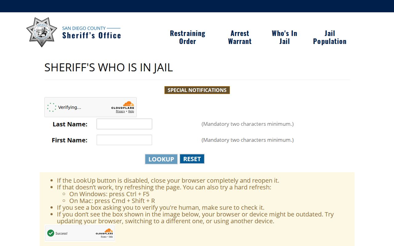
Its name-based result has its own scope and does not show who lives near an address.
The official CDCR CIRIS locator covers state custody records within its scope and should be read as a custody result, not a block match.
CIRIS can locate state custody information, but it does not map a National City block or confirm a current household.
The California DOJ Megan’s Law registry has separate search and use limits for legally disclosed information.
A registry result requires identity care and lawful use. It is not evidence that a person is a nearby resident or that any parcel is occupied by that person.
These official routes can answer a narrow status question, but none maps a block or proves occupancy. Do not treat a shared name, city, or ZIP as identity confirmation.
Historical Clues from National City Blocks
Modern GIS shows parcels, while historical reverse directories show address-to-householder clues for an earlier date. The Kile Morgan local history holdings include directories from 1889-1984, and the 1957 National City Householders Directory is a verified address-first tool. A reverse or criss-cross directory can tie a street address to a named householder, occupation, or association for its canvass year. It does not establish a current resident.
Use the dated address as a lead, then compare it with newspapers, census schedules through 1950, 1911 Sanborn map material, deeds, permits, obituaries, or probate when the research question calls for a historical trail. The 1892-93 directory publisher warned that canvassing could produce removals or changes, and OCR can mangle names and street spellings. Read the page image before treating a missing or misspelled entry as a fact.
The local history page has appointment language and schedule details that should be confirmed before travel. That small access check matters because a reverse directory is a shelf or scan to inspect, not a current online people browser.
Privacy Boundaries for National City Neighbors
Some block facts are private or restricted. People who are not listed as owners and other household members may not appear in ownership records. Utility and customer records are not a public source for nearby households. DMV address data is protected. Safe at Home can give eligible survivors and certain threatened participants a substitute address and confidential voter treatment. The program does not erase older records or authorize a public block search.
Sealed, juvenile, and adoption court files have their own restrictions. Even an address in a public record is tied to a date and purpose. Keep requests narrow, use the custodian’s correction route, and do not try to infer a household from a mailing address, permit, voter clue, or name match.
Lawful personal use. Use National City neighbors research for family history, reconnecting, civic curiosity, or personal safety awareness. Do not use records to stalk, harass, intimidate, or harm anyone.